


de l'Establon au port de la Vesse

amiral13
User GUIDE
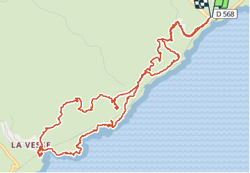

Length
9 km

Max alt
138 m

Uphill gradient
338 m
Km-Effort
13.5 km

Min alt
7 m

Downhill gradient
337 m
Boucle
Yes
Creation date :
2016-10-25 00:00:00.0
Updated on :
2016-10-25 00:00:00.0
5h09
Difficulty : Easy

FREE GPS app for hiking
 SityTrail
IGN / Geographical institutes
SityTrail Plus
The world is yours!
About
Trail Walking of 9 km to be discovered at Provence-Alpes-Côte d'Azur, Bouches-du-Rhône, Le Rove. This trail is proposed by amiral13.
Description
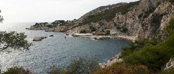
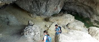
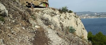
une petite randonnée en bord de mer
suivre le traçé jaune à l'aller et le bleu au retour
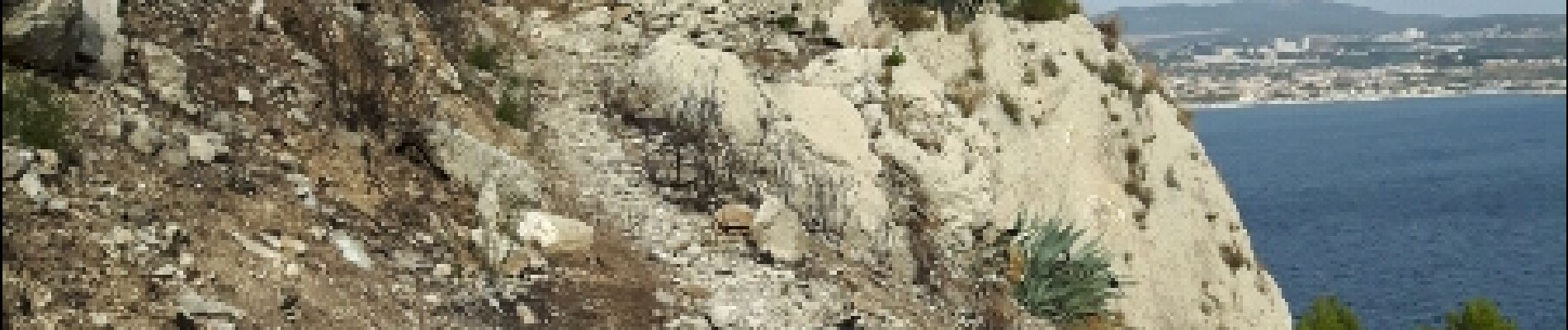
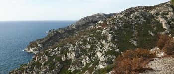
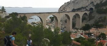
Photos


Positioning
Country:
France
Region :
Provence-Alpes-Côte d'Azur
Department/Province :
Bouches-du-Rhône
Municipality :
Le Rove
Location:
Unknown
Start:(Dec)
Start:(UTM)
684920 ; 4802699 (31T) N.
Comments